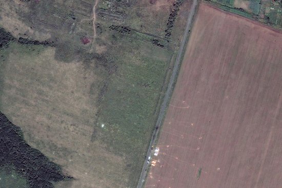
Satellite image released by DigitalGlobe shows a main impact site on July 20
Malaysia Airlines Flight 17 was traveling some 33,000 feet above eastern Ukraine on July 17 when it was struck by a surface-to-air missile believed to have been fired by Russia-backed separatists, resulting in the deaths of 283 passengers and 15 crew members from 12 nations. (Read about the lives lost in the tragedy.)
DigitalGlobe released this image on July 21, one day after its QuickBird satellite captured it. Debris from the plane, which had been traveling from Amsterdam to Kuala Lumpur, was scattered over several square miles near the area of Grabovo. (For a closer look, see Jérôme Sessini’s photographs from immediately after the crash.)
President Barack Obama accused the separatists on Monday of removing evidence from the impact site following reports that bodies were not being properly released and international investigators were being blocked from the scene.